NASA's Arizona fieldwork tackles the difficult step between mapping a cave and placing it on a map
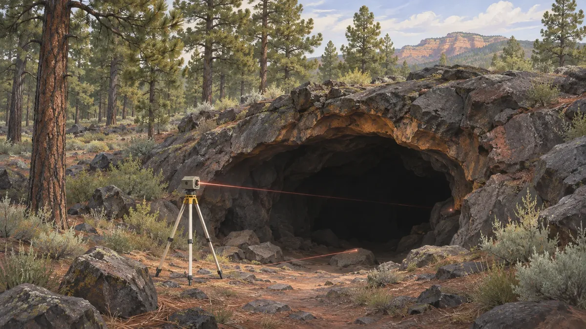
NASA's November 19 account of field investigations in Arizona highlights a deceptively difficult task: connecting the shape of an underground cave to its position beneath the surface. Researchers used laser scans around and inside Lava River Cave, then added aerial imagery to orient the underground measurements.
The field campaign took place in September, near Flagstaff. The new development is NASA's published account of that work, not an expedition beginning this week or an announced discovery of a lunar cave. It describes techniques and measurements whose usefulness extends beyond producing an attractive three-dimensional view.
A detailed interior still needs an outside reference
NASA explains that GPS signals do not penetrate the ground and that iron in the surrounding rock interferes with compasses. Those constraints complicate the apparently simple question of where a winding tunnel sits under the forest above.
The team used laser-ranging equipment to trace the cave's interior for a three-dimensional reconstruction. At the entrance, researchers collected scans from numerous positions around and through the opening. Images taken from above and from different angles supplied additional context for connecting the underground and surface views.
The distinction is between recording a shape and locating that shape. A model of a passage can show its interior geometry while still needing a reliable connection to an external reference. The entrance becomes the shared feature through which two sets of observations can be related.
NASA also reports temperature and humidity measurements at many points inside the tunnel, along with checks of rock-wall hardness. Those measurements ask different questions from the mapping itself. Together, they describe a field investigation, rather than a single scanning demonstration.
Arizona is a test environment, not a substitute Moon
Lava tubes form when molten rock hardens around a flowing interior that later drains away. NASA notes that similar structures exist on other worlds. Studying an accessible terrestrial example can help researchers develop questions and methods for future exploration.
That does not make an Arizona measurement a lunar result. The report presents the work as planetary analog research: an opportunity to study relevant processes and practice field techniques on Earth. It does not certify any cave as safe for astronauts or announce a selected extraterrestrial shelter.
The broader campaign included work at Meteor Crater and volcanic sites. At Cinder Lake, a simulated lunar landscape originally created for Apollo training, researchers examined how people perceive rock colors under different lighting conditions, including conditions intended to resemble the lunar south pole.
The next work happens after the field campaign
At SP Crater, researchers collected volcanic samples with gas bubbles of different sizes. NASA says subsequent laboratory work will investigate what those structures reveal about the original magma and the way lava erupted and cooled. Elsewhere, the team compared weathering of lava flows and older ash-derived clays with Mars in mind.
Those are research tasks, not results that can be assumed from the act of collecting a sample. The account's value lies in showing how mapping, material measurements and human observation fit into the same investigation while retaining different evidentiary limits.
The >NASA fieldwork report (opens in a new tab) offers a concrete view of that preparatory work. Before a planetary expedition can use an unfamiliar landscape well, researchers need methods that connect what they see, where it is and what the measurements actually support.
 Felix Honigwachs